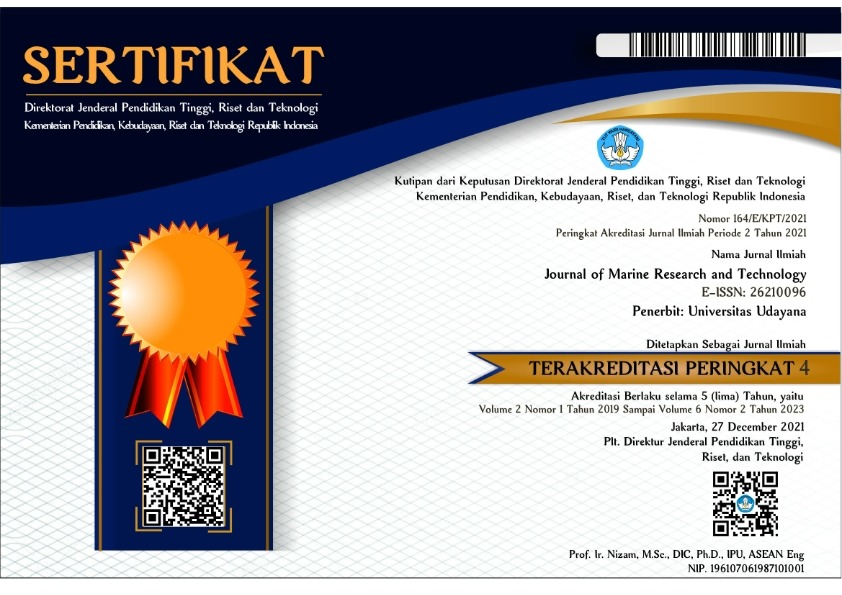
Analisis Spasial dan Temporal Suhu Menggunakan Pemodelan Numerik di Perairan Amed, Karangasem, Bali
Amed; FVCOM; Spatial; Temperature; Temporal
Abstract
Amed is a marine tourism area in the east of the island of Bali, which has high biodiversity. The high biodiversity is caused by the influence of the Indonesian Throughflow (ITF), which crosses the Lombok Strait and brings cold and rich nutrient that plays a vital role in the marine and fisheries sector. Currents have an essential role in regulating the oceanographic process of waters, so they can be used as parameters in understanding the vertical characteristics of waters, one of which is temperature. Temperature is a critical factor for physiological processes and the distribution of marine organisms. The purpose of this study was to analyze the temperature spatially and temporally in the waters of Amed, Karangasem, and Bali using numerical modeling. Logger recording data was carried out in February - September 2019 at three different locations and depths, namely the depths 30, 60, and 65 m. Finite Volume Coastal Ocean Model (FVCOM) is a numerical modeling method used in this research. Based on the spatial analysis of current movement patterns and the distribution of sea surface temperature (SST) that occurred in January – December 2019 following the seasonal variant of the wind that occurred in Indonesia. The results of the temperature gradient analysis showed that the data at a depth of 30 m did not reveal the presence of a thermocline layer. In contrast, at a depth of 60 and 65, the thermocline layer was found at a depth of 33 and 34 m with a temperature gradient of 0.1 oC/m.
Downloads

Copyright Notice
The copyright to this article is transferred to Journal of Marine Research and Technology (JMRT). The copyright transfer covers the exclusive right and license to reproduce, publish, distribute and archive the article in all forms and media of expression now known or developed in the future, including reprints, translations, photographic reproductions, microform, electronic form (offline, online) or any other reproductions of similar nature.