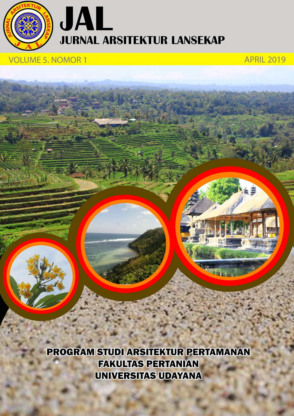
Perencanaan kawasan sempadan sungai Yeh Lating untuk pengembangan rekreasi berkelanjutan
Abstract
The planning of Yeh Lating riverscape area for sustainable recreation development. Recreation is an activity to fill any free time with non routine activities to get experiences that can bring satisfaction and entertainment. Sustainable recreation planning is a regional planning as place of recreation to meet current needs without compromising the future generations needs.Yeh Lating river in Kerambitan village is one of the potential river in south Kerambitan district, Tabanan regency. This river has been utilized by the surrounding community. However, no special arrangement has been planned as a recreation area, so planning is needed in this area. The method used in this study was field survey with an observation, questionnaires, interviews, and literature study technique. Stages of this study consist of inventory, analysed and synthesis which at the same time become the basic in planning. The results of this study showed that the available potentials in Yeh Lating River including an easy access and also facilities such as dams and beji, while the problems encountered in this study were the border physical problems, cleanliness, structuring, and lack of facilities such as parking. The concept of planning generated in this study was the concept of a combination between Balinese culture with the modern river. Suggestions that can be given was recommendation to the local government of Tabanan in the form of spatial zoning, accessibility, vegetation arrangement, and siteplan planning of Yeh Lating River.
Downloads
References
Badan Pusat Statistik. 2018. Nama Bendungan dan Kapasitasnya Dirinci Menurut Kabupaten/Kota di Provinsi Bali. Avaible online at: https://bali.bps.go.id/statictable/2018/04/10/52/nama-bendungan-dan-kapasitasnya-dirinci-menurut-kabupaten-kota-di-provinsi-bali-.html
Bappeda Tk. II, 2015. RPJM Daerah Kabupaten Tabanan Tahun 2006-2010. Avaible online at: http://perpustakaan.bappenas.go.id/lontar/file?file=digital/13295-[_Konten_]-c4038.pdf . (accessed 10 Maret 2018)
Hartania, M. S., 2016. Provinsi Bali dalam Angka 2016. Avaible online at https://dlscrib.com/provinsi-balidalam-angka-2016_58b648c76454a7ac11 b1e92e_txt.html. (accessed 10 September 2017)
Pemerintah Kabupaten Tabanan. 2016. Kerambitan Dalam Angka 2016. Badan Pusat Statistik Kab. Tabanan. Bali
Pemerintah Kabupaten Tabanan. 2018. Topografi. Avaible online at: https://www.tabanankab.go.id/page/4/
Topografi.html (accessed 28 februari 2018)
Simonds, J. O. and B. Starke. 2006. Landscape Architecture: A Manual of Land Planning and Design”, 4th Edition. McGraw-Hill. New York. 396p.

This work is licensed under a Creative Commons Attribution 4.0 International License.
An author who publishes in the Jurnal Arsitektur Lansekap (JAL) agrees to the following terms:
- Author retains the copyright and grants the journal the right of first publication of the work simultaneously licensed under the Creative Commons Attribution-ShareAlike 4.0 License that allows others to share the work with an acknowledgement of the work's authorship and initial publication in this journal
- Author is able to enter into separate, additional contractual arrangements for the non-exclusive distribution of the journal's published version of the work (e.g., post it to an institutional repository or publish it in a book) with the acknowledgement of its initial publication in this journal.
- Author is permitted and encouraged to post his/her work online (e.g., in institutional repositories or on their website) prior to and during the submission process, as it can lead to productive exchanges, as well as earlier and greater citation of the published work (See The Effect of Open Access).
Read more about the Creative Commons Attribution-ShareAlike 4.0 Licence here: https://creativecommons.org/licenses/by-sa/4.0/.


