Analisis Potensi Banjir di Kota Denpasar Menggunakan Metode Analytical Hierarchy Process
Abstract
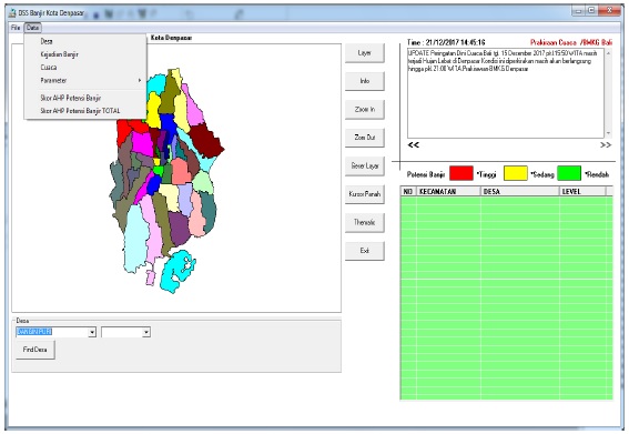
One of the most frequent natural disasters in every rainy season is the flood. The City of Denpasar experienced a fairly rapid development with various functions such as education, trade and tourism city, due to changes in land use and rapid population development could have a negative impact that is the reduction of soil absorption and the increase of flood prone areas which in the end causing grievances from people in the area. Through four parameters namely flood event, rainfall intensity, area height and density of settlement can determine the potential area of flood disaster in Denpasar City area by using Analytical Hierarchy Process method. The calculation weights of the flood parameters can be generated map of potential areas prone to flooding in the City Denpasar. Provided high potential flood areas of 9%, medium level of 28% and a low level of 63% of 43 villages in the City of Denpasar. This result can be an input for all stakeholders as policy makers can make decisions in flood disaster management.
Downloads


This work is licensed under a Creative Commons Attribution-NonCommercial-NoDerivatives 4.0 International License.

This work is licensed under a Creative Commons Attribution 4.0 International License


