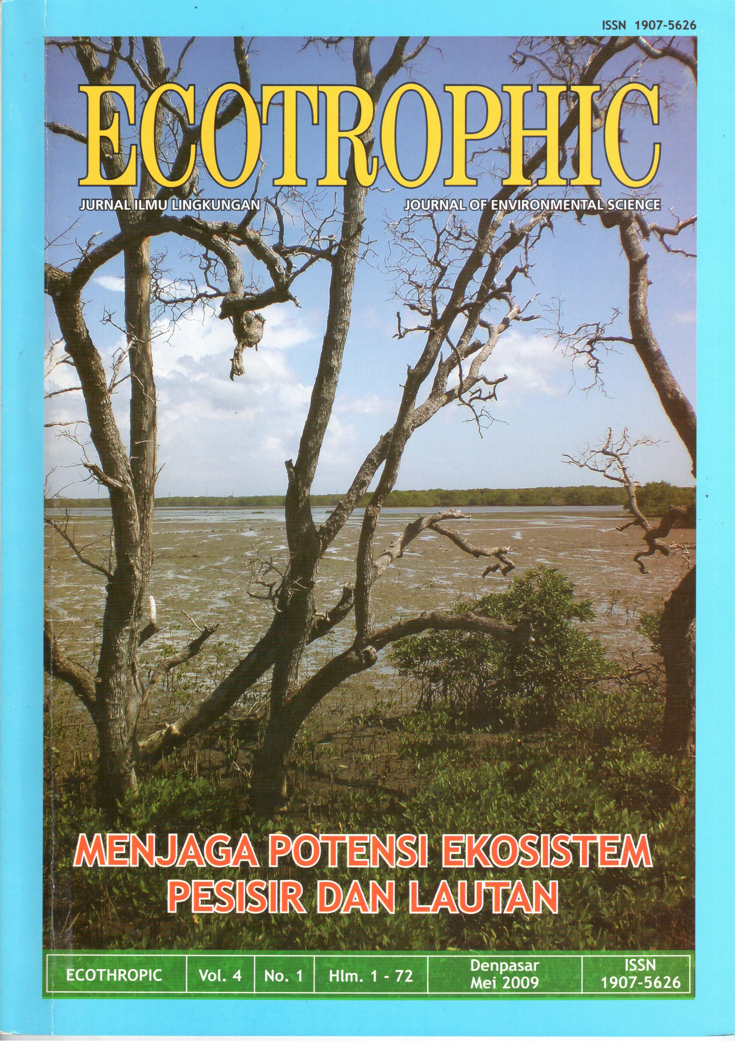
EVALUATION OF TUNA FISHING GROUND IN SOUTHERN COAST OF JAVA - SUMBAWA SEA USING SATELLITE OBSERVED DATA
Abstract
Potential fishery in territorial water of South Java - Sumbawa Sea has not been exploited maximally. Tuna is one of fisherypotency in the territorial water of South Java - Sumbawa. Tuna is the important economic value because it represent one of
exporting commodity enthused by overseas consumer.
Research was conducted in the Southern Java – Sumbawa, Indian Ocean 90 S - 160 S; 1060 E - 1210 E, using fish catch data
2003 – 2006. Research location is in the inclusive Region of Fishery Management IX (DKP and PKSPL, 2003). Data were
taken from a daily fish catch of PT. Perikanan Samudra Besar (PSB) Benoa Bali 2003 - 2006.
Sea level anomaly (SLA) data were estimated from Altimetry satellite (Jason 1), wind speed data was from Scatterometer
satellite and sea surface temperature (SST) data was from Microwave satellite.
Based on the result of this research, sea level anomaly of southern coast of Java-Sumbawa was fluctuated according to
monsoon. The highest bigeye tuna fish catched was 40 tuna in June 2003 and the lowest bigeye tuna fish was 2 tuna in
November 2005. Maximum SLA observe during southeast monsoon was 21.77 cm in august 2005, while minimum SLA
observed during southeast monsoon was -18.15 cm in October 2003. Sea surface temperature of southern coast of Java-
Sumbawa also fluctuated according to monsoon. Maximum SST observed during northwest monsoon was 30.450 C in March
2006, while minimum SST observed during southeast monsoon was 25.050 C in August 2006. The highest wind speed was
10.20 m/sec in June 2004 and the lowest was 2.00 m/sec in October 2004. Wind direction was reversely changed according to
monsoon. Northwest wind monsoon flew eastward and southeast wind monsoon flew westward.
Fish production in PT PSB had been done over 4 years since 2003, in northwest and southwest monsoon in constant area
and correlation of linier regression among estimate of fish catching using SLA, SST and wind speed had no correlation. With
fish production during southwest monsoon PT PSB set in SLA negative in different temperature of 30 C, wind speed of 2.00
m/sec and with abundant of fish catched. Meanwhile in northeast monsoon that was in positive SLA the fish catching was in
low number.
Downloads
Download data is not yet available.
How to Cite
SATIBI, MOKHLAS; OSAWA, TAKAHIRO; ARTHANA, I WAYAN.
EVALUATION OF TUNA FISHING GROUND IN SOUTHERN COAST OF JAVA - SUMBAWA SEA USING SATELLITE OBSERVED DATA.
ECOTROPHIC : Jurnal Ilmu Lingkungan (Journal of Environmental Science), [S.l.], v. 4, n. 1, nov. 2012.
ISSN 2503-3395.
Available at: <https://ojs.unud.ac.id/index.php/ecotrophic/article/view/2498>. Date accessed: 20 feb. 2026.
Issue
Section
Articles
Keywords
Tuna Fishing Ground, Remote Sensing, Altimetry, SST, Wind


