
This is the website for the online journal run by the University of Udayana
Journals
-
Prosiding Seminar Nasional Bahasa Ibu
Prosiding SNBI – merupakan luaran publikasi Seminar Nasional Bahasa Ibu yang merupakan acara tahunan milik Program Studi Doktor dan Magister Ilmu Linguistik Fakultas Ilmu Budaya Universitas Udayana. Prosiding SNBI terbit setahun sekali. Artikel-artikel yang disertakan dalam prosiding merupakan makalah yang telah dipresentasikan di seminar yang kajiannya meliputi kondisi, perkembangan, tantangan, dan inovasi bahasa ibu dari sudut pandang linguistik dan kebudayaan.
-

Prosiding Seminar Nasional Sains dan Teknologi (Senastek)
Prosiding Seminar Nasional Sains dan Teknologi (Senastek)
-
Jurnal Nasional Teknologi Informasi dan Aplikasnya
Jurnal Nasional Teknologi Informasi dan Aplikasinya
-
-
SANTI Journal of Balinese Literature
SANTI Journal of Balinese Literature adalah jurnal yang mencakup bidang Humaniora khususnya linguistik, sastra,filologi, dan sosial budaya nusantara. Jurnal SANTI terbit bulan Maret dan September.
-
International Seminar on Austronesian Languages and Literature
International Seminar on Austronesian Language and Literature is expected to be a forum for the development of scientific traditions between Austronesian and Non-Austronesian researchers to discuss and expand the network of linguistic research horizons. With wide range of themes : Microlinguistic studies, Macrolinguistic studies, also Interesting Paper from non-Austronesian language.
-
Stilistika : Journal of Indonesian Language and Literature
Stilistika: Journal of Indonesian Language and Literature diterbitkan oleh Program Studi Sastra Indonesia, Fakultas Ilmu Budaya, Universitas Udayana. Jurnal ini terbit dua kali setahun, setiap bulan Maret dan September.
-
International Student Conference on Electrical and Computer Engineering (ISCECE)
Proceedings of International Student Conference on Electrical and Computer Engineering (ISCECE)
-
Widya Cakra: Journal of Psychology and Humanities
Jurnal Widya Cakra terbit dua kali dalam setahun yaitu pada bulan April dan Oktober.
Jurnal Widya Cakra mengambil fokus dan scope dalam penelitian-penelitian terkait dengan pengembangan ilmu Psikologi dan perilaku manusia yang mana hasil-hasil penelitian tersebut diharapkan dapat meningkatkan kesejahteraan manusia.
Widya Cakra: Journal of Psychology and Humanities penerbitannya dikhususkan sebagai sarana publikasi artikel penelitian ilmiah bagi para mahasiswa. Ranah keilmuannya antara lain: psikologi perkembangan, psikologi klinis, psikologi kesehatan, budaya dan perilaku manusia, psikologi pendidikan, psikologi industri dan organisasi, psikologi transpersonal dan spiritualitas, serta menerima kajian-kajian ilmu kesehatan lain yang relevan dengan perilaku manusia. Hasil penelitian yang dipublikasikan diharapkan dapat berkontribusi dalam usaha meningkatkan kesejahteraan.
Kantor Redaksi Widya Cakra: Journal of Psychology and Humanities
Gedung Kuliah Program Studi Sarjana Psikologi Lt.1
Kampus Universitas Udayana Jl. P.B. Sudirman
Denpasar, Bali, 80221
Telepon/Phone: +62-0361-262275
Surel/Email: widyacakra@unud.ac.id -
International Conference on Cultural Studies
[Online ISSN 2686-5173][Print ISSN 2686-5181] Culture is unstatic and could be discussed from every side of human views and interests. The 21st century has witnessed significant changes in the context of Cultural Studies as the world is increasingly globalized and digitalized. The modern learner is not only faced with the growing need to communicate in expanding contexts, but also the demand to learn the skills to be able to survive and succeed in today’s world as both a local and global citizen. A whole person education of Doctoral Study Program (S3) in Cultural Studies, Udayana University is consequently imperative to equip learners with both hard and soft skills. While the stakes for improving core Cultural Studies are higher, there is a need to develop skills such as digital literacy, critical thinking, problem solving and collaborative abilities, autonomy, intercultural competence, and environmental and civic literacy.
-
Majalah Ilmiah Teknologi Elektro
Journal of Electrical Technology is peer review journal, published twice a year by the Study Program of Magister Electrical Engineering, Faculty of Engineering, Universitas Udayana. This journal discusses the scientific works containing results of research in the field of electrical, include power systems, telecommunications, informatics, and electronics. Authors are expected to include original scientific papers in accordance with the scope of the discussion of this journal including all aspects of the theory and practice are used.


DOI: 10.24843/MITE
-
Proceeding International Conference On Biosciences and Biotechnology
INTERNATIONAL CONFERENCE ON BIOSCIENCES AND BIOTECHNOLOGY
-
Essential: Essence of Scientific Medical Journal
Essence of Scientific Medical Journal (ESSENTIAL) merupakan salah satu media publikasi ilmiah yang dimiliki oleh KelompokIlmiah Hippocrates FK Unud. Jurnal Essential menerima karya ilmiah berupa penelitian dan tinjauan pustaka dari seluruh mahasiswa kesehatan di Indonesia. Jurnal Essential diterbitkan sebanyak 2 kali per tahun.
-
Current Trends in Aquatic Science
Current Trend in Aquatic Science (CTAS) has been registered with the number ISSN: 2621-7473 (online) and ISSN: 2621-7368 (print). This journal is a peer-reviewed (Open Access) journal and publishs articles based on scientific research by the Program Studi Manajemen Sumberdaya Perairan, Fakultas Kelautan dan Perikanan, Universitas Udayana, Indonesia. CTAS was published to develop and enrich scientific discussion for scholars who put interest in aquatic science in Indonesia. This journal covers several area of study, such as: limnology, aquatic ecology, aquatic ecotoxicology, aquatic microbiology, aquatic environmental pollution, aquatic bioremediation, applied biotechnology in aquatic science, marine and coastal environment, and fisheries management.
-
Journal of Marine Research and Technology
The Journal of Marine Research and Technology (JMRT) is an open-access scientific journal that aims to publish the cutting edge of all aspects of marine science, published by the Department of Marine Science, Faculty of Marine and Fisheries, Universitas Udayana. JMRT is a peer-reviewed journal that publishes original articles and critical reviews of current issues in marine biology, marine culture, marine conservation, marine tourism, physical and chemical oceanography, and technology related to marine science, such as remote sensing and modeling. The editorial manager system is an online manuscript submission, review, and tracking system.
-

Lontar Komputer : Jurnal Ilmiah Teknologi Informasi
Lontar Komputer [ISSN Print 2088-1541] [ISSN Online 2541-5832] is a journal that focuses on the theory, practice, and methodology of all aspects of technology in the field of computer science and engineering as well as productive and innovative ideas related to new technology and information systems. This journal covers research original paper that has not been published and has been through the double-blind reviewed journal. Lontar Komputer is published three times a year by Research institutions and community service, University of Udayana. Lontar Komputer already indexing in SINTA with score S2 and impact factor 4.28125.
Lontar Komputer has been ACCREDITED by DIKTI (Ministry of Education, Culture, Research, and Technology) with a score SINTA 2, decree no. NO. 158/E/KPT/2021.
INDEXING:


MEMBER OF:

 DOI : 10.24843/LKJITI
TOOL:

-
Jurnal Ilmu Komputer
JIK : Jurnal Ilmu Komputer
[ISSN Print 1979-5661] [ISSN Online 2622-321X]
JIK is a peer-reviewed scientific journal published by Informatics Department, Faculty of Mathematics and Natural Science, Udayana University which has been published since 2008. The aim of this journal is to publish high-quality articles dedicated to all aspects of the latest outstanding developments in the field of computer science. JIK is consistently published two times a year in April and September. This journal covers original article in computer science that has not been published. The article can be research papers, research findings, review articles, analysis and recent applications in computer science. In 2008, JIK had been accredited rank SINTA 4 by SINTA DIKTI.
The scope of JIK covers, but is not limited to the following areas: algorithm and data structure, artificial intelligence, automated reasoning, computer vision, soft computing, natural language computing, networking, computer security, cryptography, computer architecture, information visualization, data mining, numerical analysis, software engineering, and human-computer interaction.
Indexed by:


Member of:

-
Jurnal Kepariwisataan dan Hospitalitas

Jurnal Kepariwisataan dan Hospitalitas is published by Diploma IV Tourism Program Study, Faculty of Tourism, Udayana University, Denpasar Bali. Published twice a year with registered number 2581-0669 (Online ISSN).
This journal encompasses original research articles, including:
1. Tourism studies
2. Hospitality Industry
3. Human Resources Management
4. Tourism forecasting
-
Jurnal IPTA (Industri Perjalanan Wisata)
Jurnal IPTA (Industri Perjalanan Wisata) accredited by Science and Technology Index (SINTA) Ristek Dikti No. 14 / E / KPT / 2019. Jurnal IPTA is peer-reviewed journal and published twice a year on July and December. Jurnal IPTA (Industri Perjalanan Wisata) published by The Department of Tours and Travel Studies, Faculty of Tourism, Udayana University, Denpasar Bali with online ISSN: 2548-7930 and print ISSN: 2338-8633. The publication of this journal is a scientific journal in the field of tour and travel research. The manuscript can be research papers, review articles, as well as conceptual, technical and methodological papers on all aspects includes research findings, experimental design, analysis and recent application in tour and travel studies. The scope of these areas include tourist, geographical elements, and tourism industry. The editors receive contributions from experts, lecturer, practitioners, and students who concern about tour and travel studies. Jurnal IPTA indexed by:
-

Jurnal Veteriner
Jurnal Veteriner is a scientific journal encompassing animal science aspects, published since 2000, and until now is consistently published four times a year in March, June, September, and December by Faculty of Veterinary Medicine, Udayana University, associated with Association of Veterinarian Indonesia. Jurnal
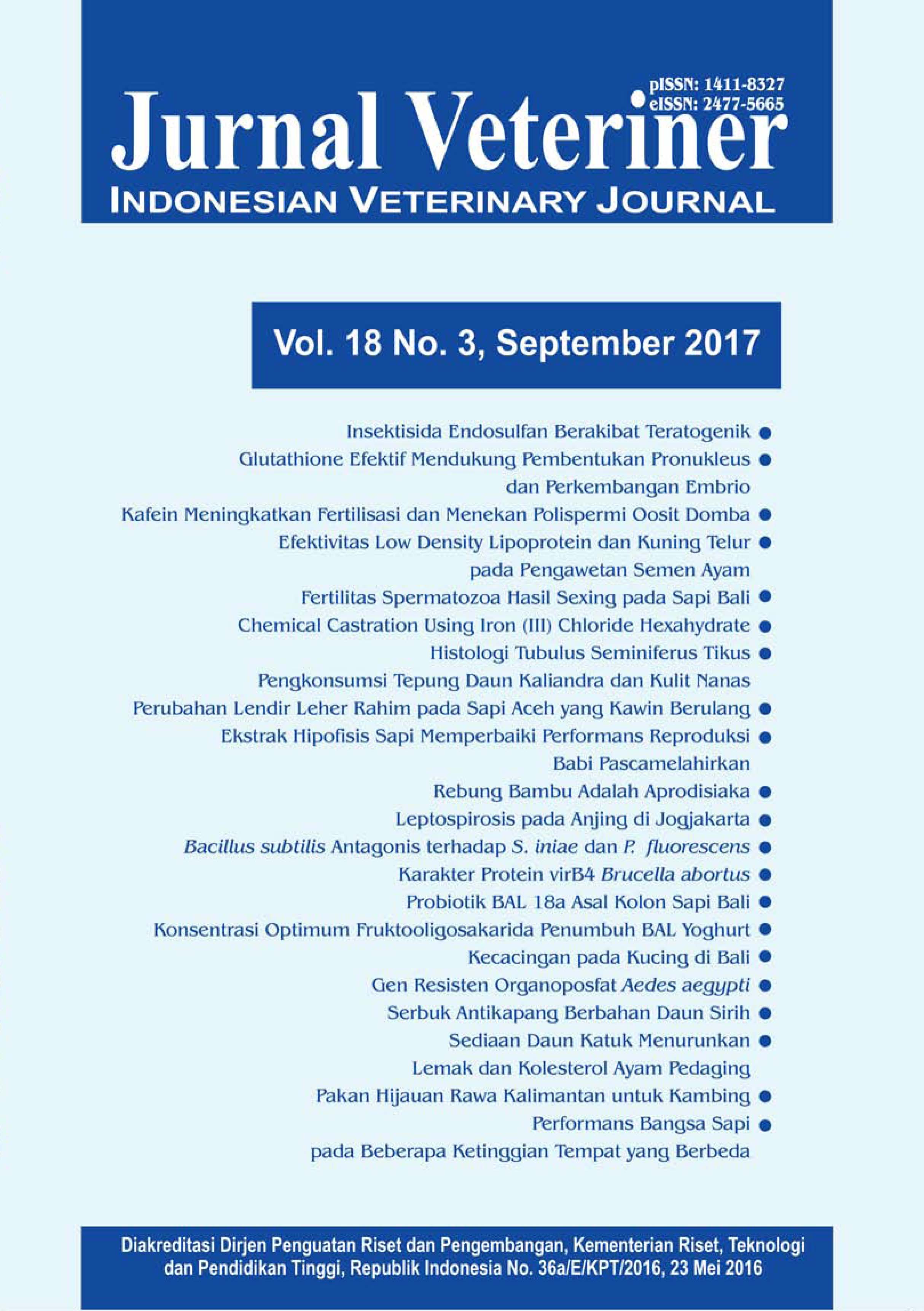 Veteriner is a peer reviewed journal that has been accredited by Directorate General of Research and Development Strengthening, Ministry of Research, Technology and Higher Education of the Republic of Indonesia since 2002.
Jurnal Veteriner has been indexed and abstracted in Clarivate Analytics products (formerly Thomson Reuters), DOAJ, CABI, EBSCO, Science and Technology Index (SINTA), Garba Rujukan Digital (GARUDA), Google Scholar, and other scientific databases. Jurnal Veteriner also used Similarity Check to prevent any suspected plagiarism in the manuscripts.
Jurnal Veteriner receives manuscripts cover a broad range of research topics in tropical veterinary medicine and tropical animal sciences: anatomy, histology, pathology, virology, bacteriology, pharmacology, mycology, clinical sciences, genetics, reproduction, physiology, biochemistry, nutrition, animal products, biotechnology, behaviour, welfare, livestock farming system, socio-economic, wild life and policy.
-
Buletin Veteriner Udayana
Buletin Veteriner Udayana is peer review journal, published by the Faculty of Veterinary Medicine Udayana University as a medium of information and the development of veterinary science. Published six times throughout the year every February, April, June, August, October and December. This journal discusses the scientific works containing the results of research in the field of veterinary sciences. The scope of journal is wide and multidisciplinary that publishes original research papers, review articles, as well as conceptual, technical and methodological papers on all aspects includes research findings, experimental design, analysis and recent application in veterinary sciences.


-
Nandur
Nandur adalah Jurnal Ilmiah Pertanian yang mempublikasikan dan menyebarluaskan hasil penelitian/naskah hasil riset (original research) kepada para peneliti dan ilmuwan di bidang pertanian yang mencakup bidang ilmu Agroekoteknologi, Agribisnis, dan Arsitektur Pertamanan. Naskah yang diterbitkan ditulis dalam bahasa Indonesia dan melalui proses review pada Fakultas Pertanian, Universitas Udayana.
-
Matrik : Jurnal Manajemen, Strategi Bisnis, dan Kewirausahaan
Matrik: Jurnal Manajemen, Strategi Bisnis, dan Kewirausahaan is a scientific journal published by the Department of Management, Faculty of Economics, Udayana University which aims to publish articles of empirical and theoretical studies in the field of marketing management, finance, human resources, operations, strategy management, tourism management and entrepreneurship. Editors accept articles in English and were not delivered or published in another journal. Determination of the article that appeared determined by expert editors review results through a blind review process.
SINTA 2
SK: 148/M/KPT/2020
-
Buletin Studi Ekonomi
Buletin Studi Ekonomi Print ISSN 1410-4628 and Online ISSN 2580-5312 published by the Faculty of Economics, University of Udayana. Published biannually in February and August. Contain writings lifted from the results of research in economics.


-
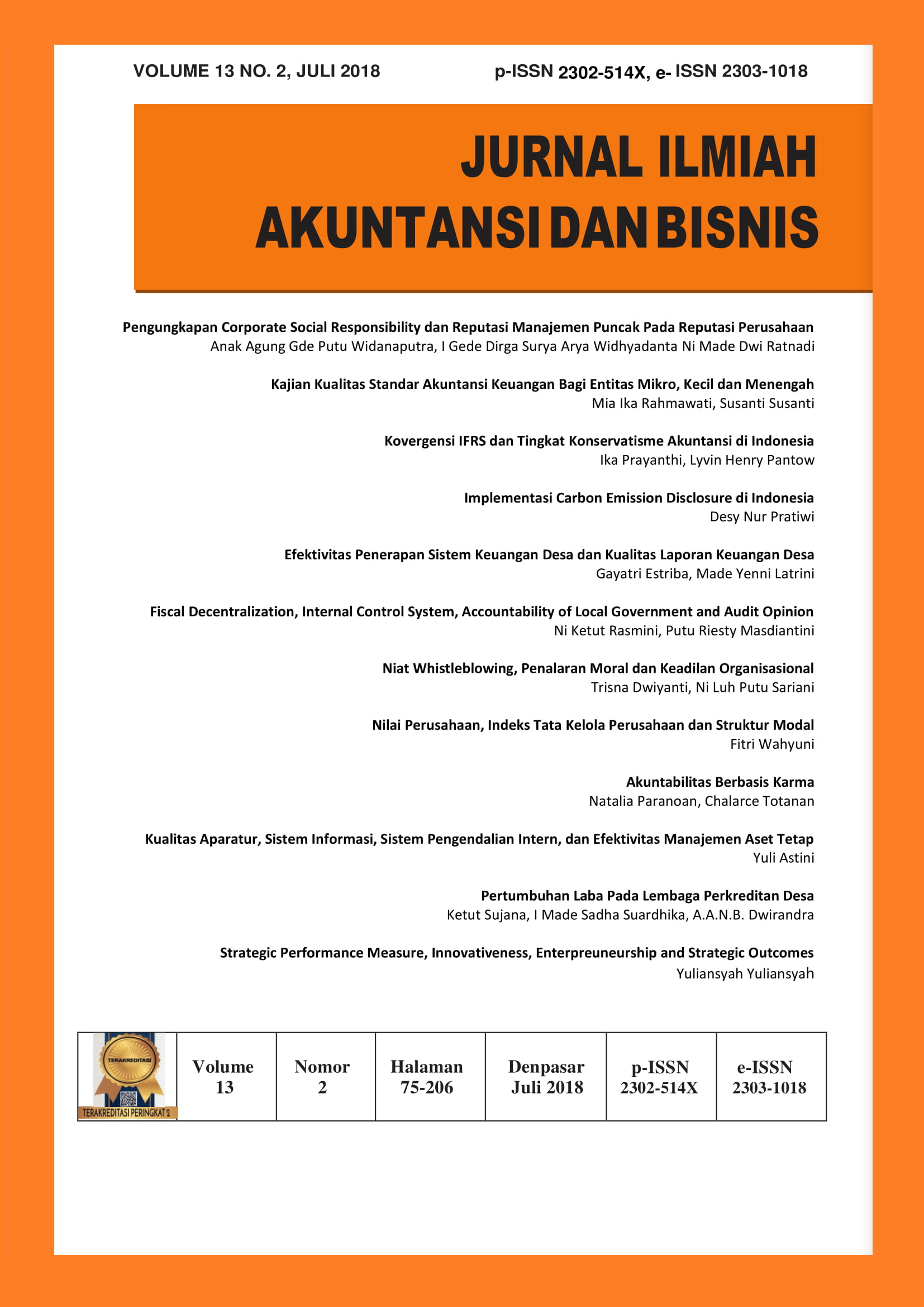
Jurnal Ilmiah Akuntansi dan Bisnis
JURNAL ILMIAH AKUNTANSI DAN BISNIS
Jurnal Ilmiah Akuntansi dan Bisnis (p-ISSN 2302-514X, e-ISSN 2303-1018) aims to serve as a medium of information and exchange of scientific articles between teaching staff, alumni, students, practitioners and observers of science in accounting and business. JIAB editor receives scientific articles of empirical research and theoretical studies related to accounting and business sciences that certainly have never been published. The Scientific Journal of Accounting and Business (JIAB) is published twice a year in January and July by Accounting Study Program in collaboration with Association of Indonesian Economic Bachelor (ISEI branch of Denpasar).
Based on the Decree of the General Director of Strengthening the Research and Development, Ministry of Research, Technology and Higher Education of the Republic of Indonesia No. 21 / E / KPT/ 2018, Jurnal Ilmiah Akuntansi dan Bisnis (JIAB) was declared as an Accredited Scientific Journal with category “Sinta 2” from Vol. 11 No.1 Tahun 2016 unti Vol. 15 No. 2 Tahun 2020
JIAB receives rigorous research articles that have not been offered for publication elsewhere. JIAB focuses on the research related to accounting and business that are relevant for the development of theory and practices of accounting in Indonesia and southeast asia especially and also in the world. Therefore, JIAB accepts the articles from Indonesia authors and other countries. JIAB covered various of research approach, namely: quantitative, qualitative and mixed method. JIAB is indexed by:
- Science and Technology Index (SINTA 2)
- Directory of Open Access Journal (DOAJ)
- Google Scholar
- Crossref
- GARUDA
- ISJD
IMPORTANT: Before you submit a manuscript, make sure that your paper is prepared using JIAB TEMPLATE FOR SUBMISSION, has been proofread and polished carefully, and conformed to the JIAB AUTHOR GUIDELINES.

