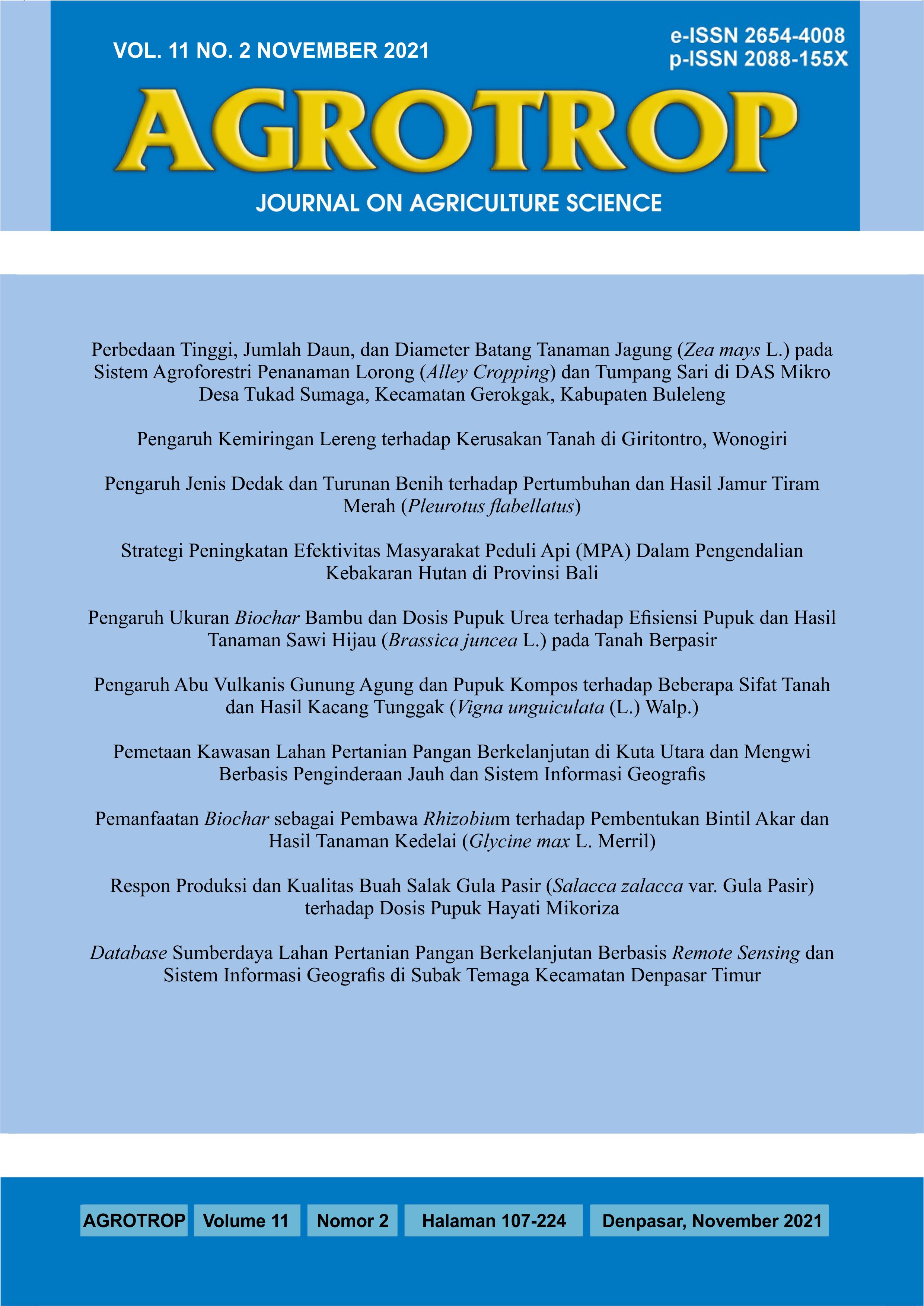
Pemetaan Kawasan Lahan Pertanian Pangan Berkelanjutan di Kuta Utara dan Mengwi Berbasis Penginderaan Jauh dan Sistem Informasi Geografis
Abstract
Mapping of Sustainable Food Agricultural Land at North Kuta and Mengwi Districts Based on Remote Sensing and Geographical Information System. Sustainable Food Agricultural Land (LP2B) is a field of agricultural land designated to be protected and developed consistently in order to produce staple food for national food independence, resilience and sovereignty. The Badung Regency Government has determined the area and location of LP2B but it has not been accompanied by a spatial information map. This study aims to map subak rice fields in 2019 as well as mapping of LP2B based on the physical conditions of the area and the environment in North Kuta and Mengwi Districts based on remote sensing and GIS. The method used consists of image interpretation, field survey and numerical classification. The results showed that the distribution of subak rice fields in North Kuta and Mengwi Districts was 4967.22 ha. The distribution of rice fields in North Kuta District is 850.15 ha and in Mengwi District is 4117.07 ha. In the classification of LP2B areas, the recommended area is model 1 (234.88 ha), model 2 (939.76 ha) and model 3 (2048.63 ha). The recommendation areas are in model 1 (1489.91 ha), model 2 (1101.52 ha) and model 3 (2047.53 ha). The conditional recommendation area is in model 1 (2969.50 ha), model 2 (2048.49 ha) and model 3 (873.39 ha). Not recommended area in model 1 (270.81 ha), model 2 (875.33 ha) and model 3 (0 ha).
Downloads
References
Badan Pusat Statistik. (2019). Luas Lahan Menurut Penggunaan. BPS Kabupaten Badung. Mangupura.
Badan Pusat Statistik. (2020). Provinsi Bali Dalam Angka 2020. BPS Provinsi Bali. Denpasar
Feronika, Lanya I., & Nuarsa, I. W. (2017). Aplikasi Remote Sensing dan GIS Untuk Pemetaan dan Penyusunan Informasi Sumber Daya Subak di Kecamatan Mengwi Kabupaten Badung. Jurnal Agroroekoteknologi Tropika. Volume 7(1):2301-6515.
Lanya, I., Subadiyasa, N. N., Sardiana, I. K. & Ratna Adi, I. G. P. (2015). Numerical Classification, Subak Zoning and Land Transfer Function Rice Field in The Province of Bali based on Remote Sensing and GIS. Elsevier Journal of Procedia Environmental Science, Vol. 24 (2015): 47-55.
Lanya, I., & Subadiyasa, N. N. (2016). Role of Remote Sensing and Geographyc Information System Mapping for Protected Areas Land Rice Field Subak, Buffer Zones, and Area Conversion (Case Studies In Gianyar Regency, Bali Province). IOP Conf. Series: Earth and Environmental Science, Volume 47 (1) p. 012037.
Peraturan Daerah Kabupaten Badung (2013). Rencana Tata Ruang Wilayah Kabupaten Badung Tahun 2013 - 2033. Lembaran Daerah Kabupaten Badung Tahun 2013, Nomor 26. Mangupura.
Peraturan Daerah Kabupaten Badung. (2019). Perlindungan Lahan Pertanian Pangan Berkelanjutan (Lembaran Daerah Kabupaten Badung tahun 2019 No 8. Noreg Peraturan Daerah Kabupaten Badung Provinsi Bali.
Suarjaya, D. G., Lanya, I., & Ratna Adi, I. G. P. (2017). Aplikasi Remote Sensing dan Sig Untuk Pemetaan dan Informasi Sumberdaya Lahan Subak Sawah di Kecamatan Kuta dan Kuta Utara, Kabupaten Badung. E-Jurnal Agroekoteknologi Tropika, Volume 6 (3): 239 – 248.
Sugiyono. (2011). Metode Penelitian Kuantitaif Kualitatif dan R & B. Bandung: Alfabeta.
Sutanto. (1994). Penginderaan Jauh. Gadjah Mada University Press Yogyakarta. Jilid 2
Trigunasih, N. M. (2017). Model Klasifikasi Numerik Spasial Kawasan Lahan Pertanian Pangan Berkelanjutan di Kabupaten Badung dan Kota Denpasar. Disertasi. Universitas Udayana. Denpasar.


