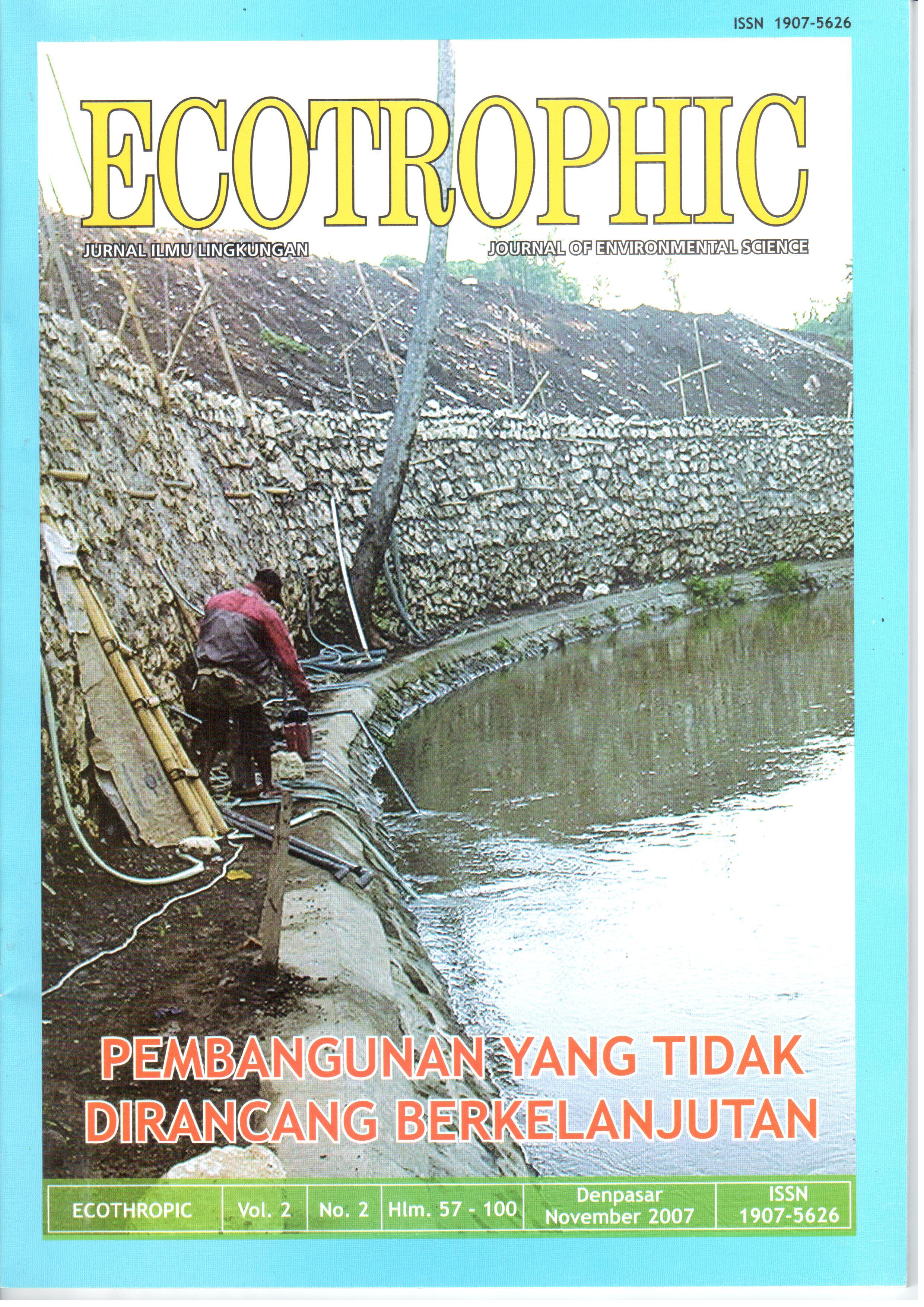
ANALISIS KADAR LOGAM BERAT AIR SUNGAI SEKONYER DI KABUPATEN KOTAWARINGIN BARAT KALIMANTAN TENGAH.
Abstract
Sekonyer river as west border of Tanjung Puting National Park, is the main flora and fauna preservation areasespecially for orangutan conservation. Part of Sekonyer river upper course around year 1990 to 2002, there was anillegal gold mining (IGM) activity, and in 2002 this IGM was forbidden to be operated because of the use of mercuryfor extracting the gold. In former IGM location, up to this research has been done, the location is still used for silikapuya (sand) mining that is extracted from the sands by using water from the river, as a result, the waste water wasinundated in the mining area and flows into Sekonyer river. The objectives of this research are first of all, to identifythe heavy metal degree of the water, such as mercury, copper, cadmium, zinc, lead, arsenic, and chrome. The secondone is to identify the source of pollution, and the last one is to identify the potential heavy metal that pollute the water.Composite method was used in collecting the water samples, i.e. in Sekonyer river and the mining location.Water and puya samples were analyzed in Analytical Laboratory of University of Udayana, and then its pollutionindexes were counted, and the quality of the water was fixed based on Third Degree of quality standardized criteria,Government Rule Number 82 Year 2001.The results of the research show that along the Sekonyer river, from upper to lower courses of the river sideswith the following conditions: from the lower course of mining area it was found light pollution with pollution index of 2,51, after puya mine it was found heavy pollution with pollution index of 17,84, up to mid of Rimba Orangutan Eco-Lodge with Sekonyer river estuary there were found light pollution with pollution indexes of 3,71; 4,59; and 2,88respectively, but in the junction of Sekonyer river and Ulin river it was found moderate pollution with pollution indexof 5,13, and in Sekonyer river estuary it was found heavy pollution with pollution index of 16,35.It was also found heavy pollution with pollution index of 16,26 in the inundated water in the puya mininglocation . It was also happened to puya in the mining location that was contaminated by heavy metal of mercury in0,1168 ppm and zinc in 0,195 ppm degrees, whilst in Kumai river, upper side of Kumai quay it was found heavypollution with pollution index of 17,42.From the results of the analysis, it can be concluded that the heavy metals was derived from mining area(Aspai), from the sea and also from upper course of Kumai river. The potential metals as the pollutant were cadmium,zinc, lead, and mercury.Downloads
Download data is not yet available.
How to Cite
T. INDARWATI, Maria; MAHENDRA, M.S.; ARTHANA, I W..
ANALISIS KADAR LOGAM BERAT AIR SUNGAI SEKONYER DI KABUPATEN KOTAWARINGIN BARAT KALIMANTAN TENGAH..
ECOTROPHIC : Jurnal Ilmu Lingkungan (Journal of Environmental Science), [S.l.], v. 2, n. 2, nov. 2012.
ISSN 2503-3395.
Available at: <https://ojs.unud.ac.id/index.php/ecotrophic/article/view/2471>. Date accessed: 26 nov. 2024.
Issue
Section
Articles
Keywords
mining, puya (sand), heavy metals, pollution index (Pij).


